The OpenDarkSky project is building a global network of open-source sensors to scientifically measure light pollution and key environmental data.
A collaboration between:
SC Robotics Libre Space ESAFrom vanishing stars to disruptions in ecosystems, the effects of light pollution and environmental change are profound. OpenDarkSky provides the tools to fight back: an open, global, and scientifically accurate network to monitor our world, empowering communities with the data to drive change.
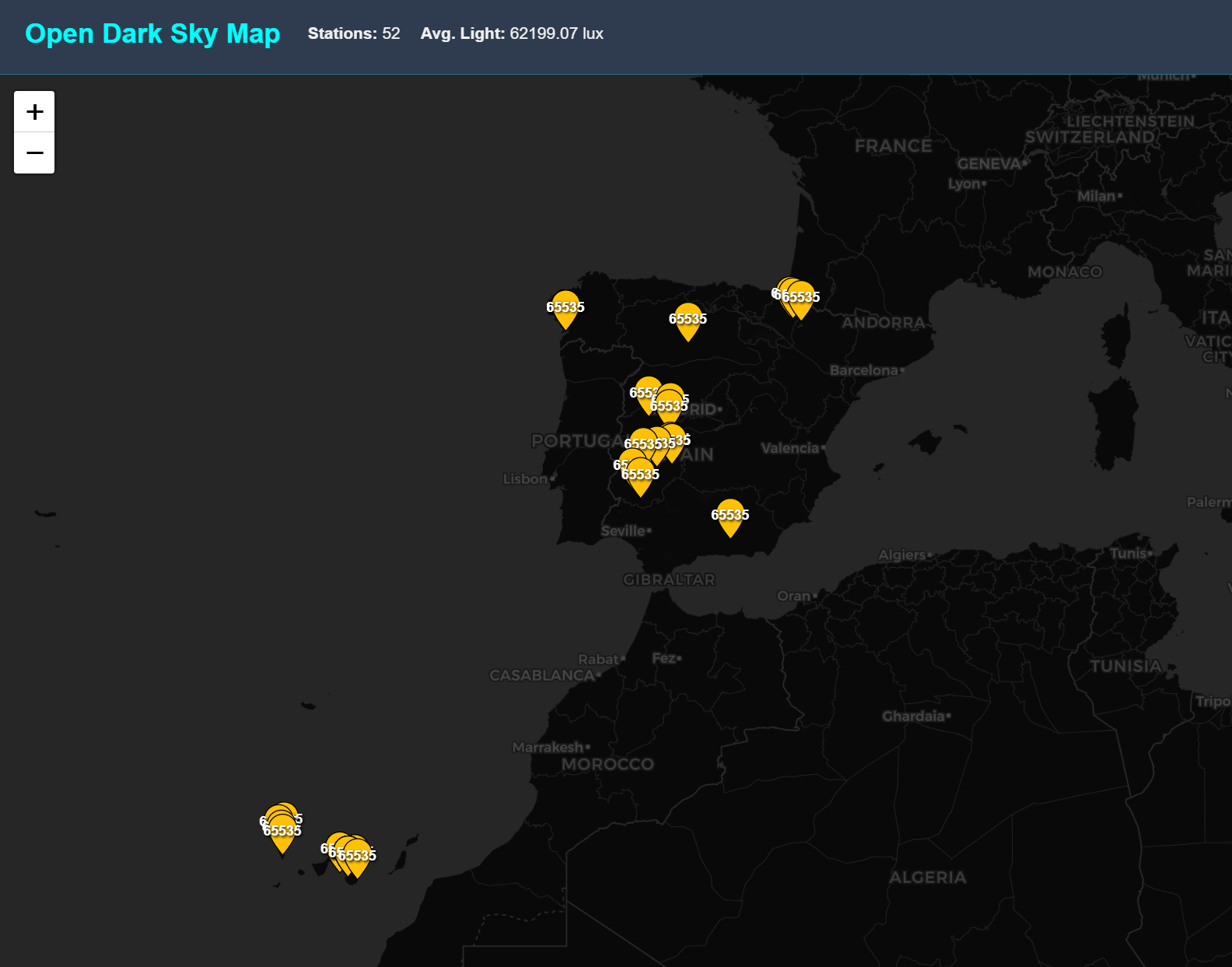
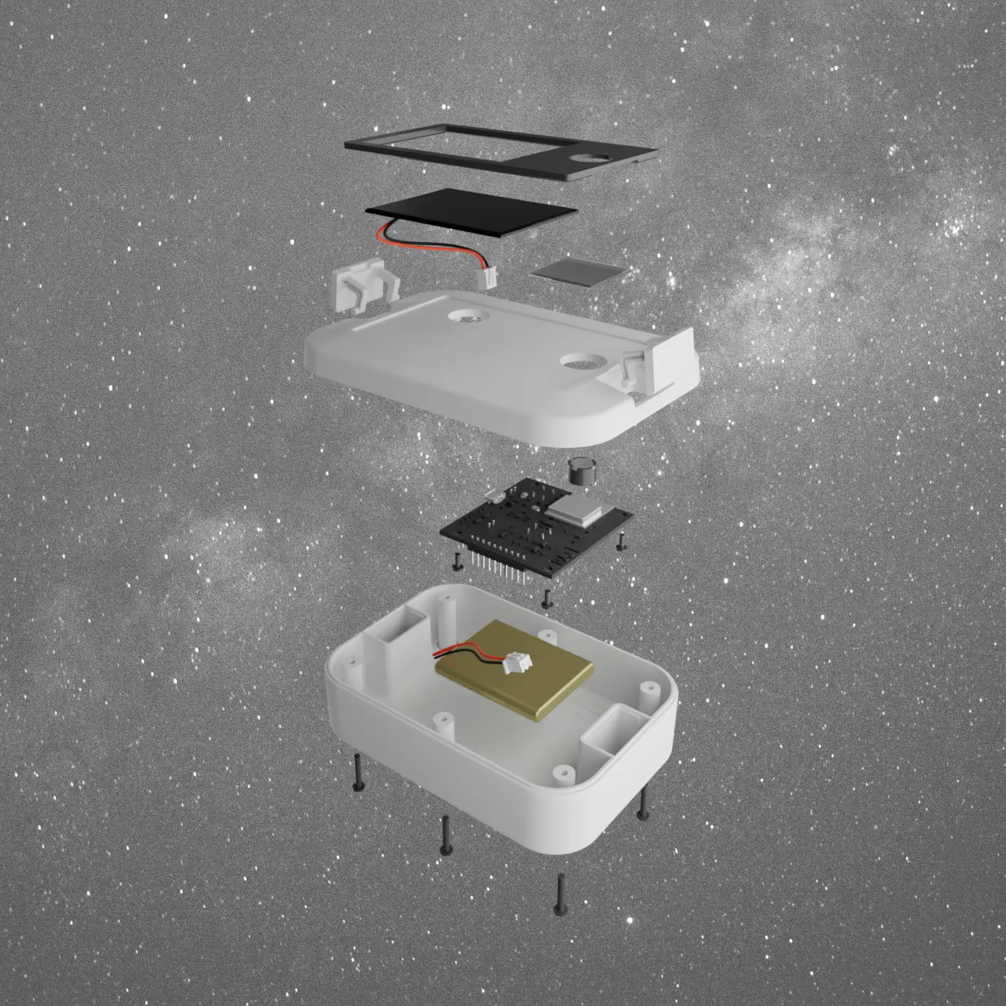
Our network's primary mission is to gather high-precision photometric data to create a real-time global map of sky brightness.
Each device also records crucial data like temperature and humidity, providing a richer understanding of local environmental conditions.
All data is open and accessible, empowering citizen scientists, researchers, and policymakers to protect our environment.
Our living map is now online. This interactive platform brings the OpenDarkSky network to life, offering real-time insights and historical trends from every deployed sensor across the globe. You can now explore the data, identify light pollution hotspots, and track environmental changes as they happen.
Launch the Interactive Map
At the heart of the project is a custom-designed, autonomous device. Each station is a self-contained unit engineered for long-term, unattended operation in any environment. It collects data locally and periodically uploads it to the cloud via WiFi or cellular network, ensuring a robust and scalable global network.
Project lead, providing expertise in automation and robotics to design and build the core hardware.
Primary funder and champion of the open-source ethos fundamental to the project's success.
Backing the project with funding, invaluable institutional support and expertise.
Whether you're a developer, an engineer, a scientist, or a hobbyist, you can contribute to the OpenDarkSky project. Help us build, deploy, and grow the world's first open environmental monitoring network.